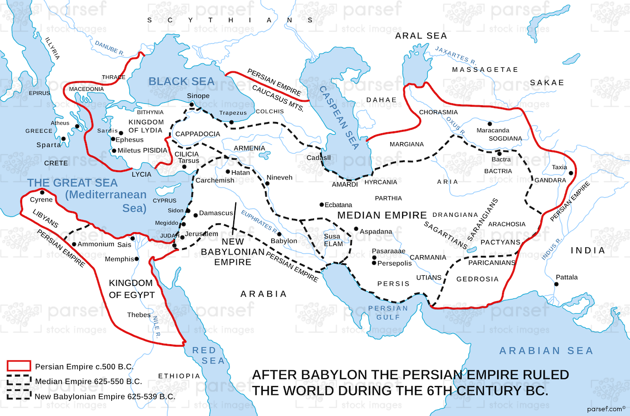
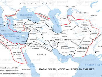
The World During the 6th Century BC Map

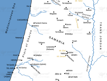
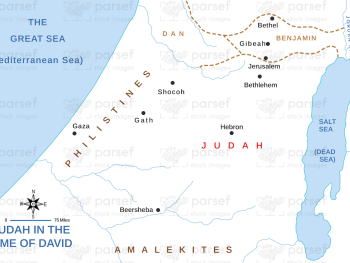
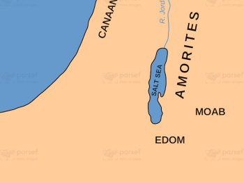
Related Maps
Read More
Read More
Read More
Read More

Read More
Read More
Read More
Read More
Read More
Read More